Muscat Governorate Begins Field Implementation of the National Addressing Project and Installing Street and Building Signage

02/09/2026
-
Over 80% completion achieved in street naming and verification of addressing units in pilot areas
-
A unified national address facilitates access and links locations to accurate geographical coordinates
-
A unified spatial database support digital transformation, urban planning and government services
Muscat Governorate has entered a new phase in implementing the National Addressing Project, moving from preparatory activities, street naming and data verification to field implementation and the installation of street and building signboards. This project aims to establish a unified national addressing system, supported by an accurate spatial database that facilitates access to locations and supports government and private-sector services, digital transformation and urban planning.
The impact of the project is not limited to updating street names or building numbers. It creates a unified spatial reference that facilitates access to homes, establishments and facilities. Furthermore, providing more accurate data that can be used to improve services and support decision-making related to planning, development and city management.
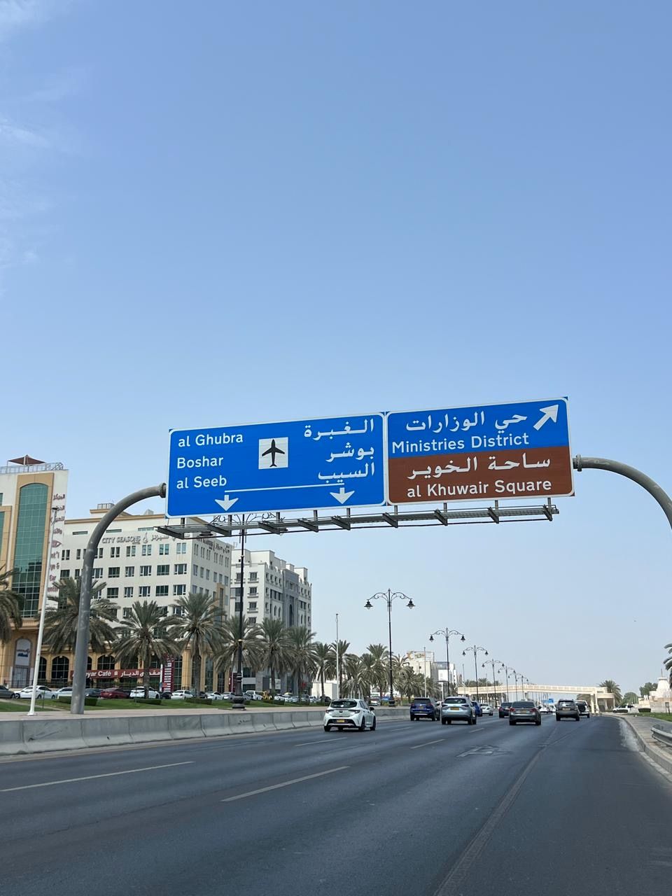
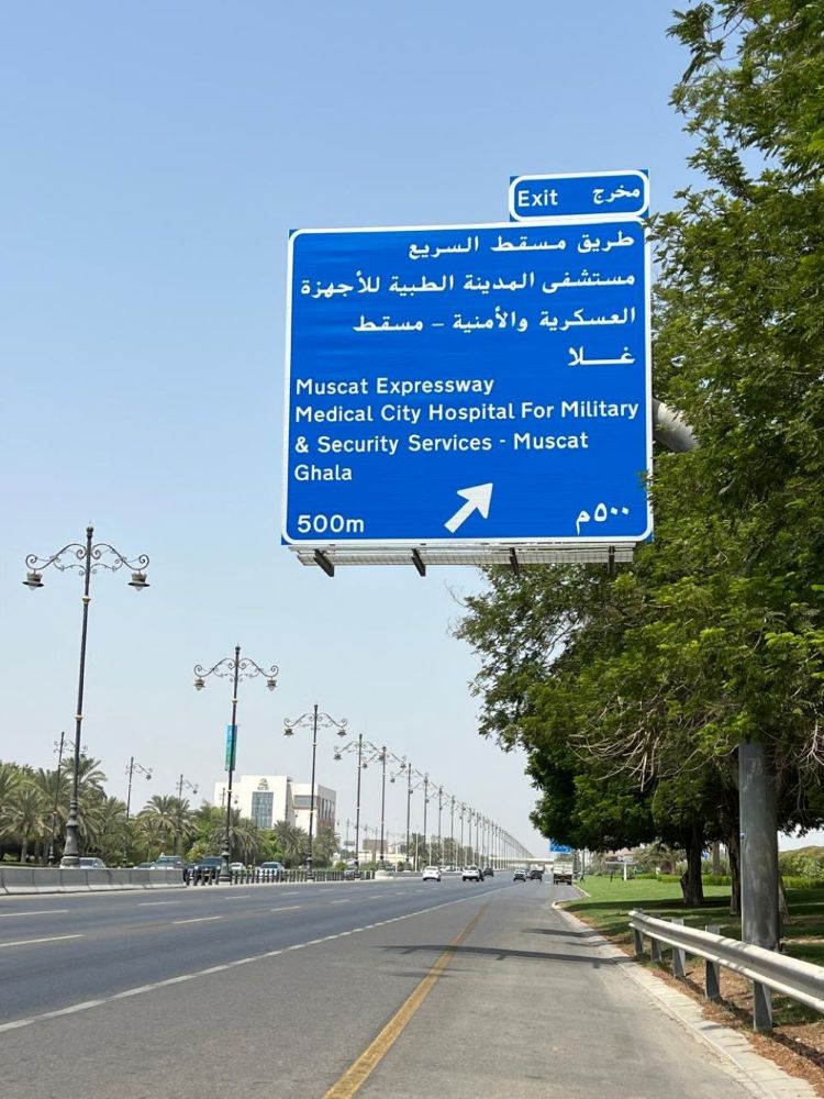
In accordance with the implementation plan for the National Addressing System, the project in Muscat Governorate has entered the implementation and installation phase for street and building signage. Field surveying began in the pilot area in Quriyat to verify the locations for installing the signs and ensure their compliance with technical standards before their manufacturing and installation.
This step follows the completion of street naming and the verification of addressing-unit data in the targeted areas. Street naming and field verification commenced in the experimental areas across all wilayats of Muscat Governorate. Street names have been approved and addressing-unit data verified, with the achievement rate at this stage exceeding 80%, alongside the continued implementation and installation of signage according to the approved plan.
The upcoming phases include completing the installation of street and building signage in the experimental areas, followed by moving to the main urban centres and other areas to complete street naming, field verification of addressing units and installing signage, ultimately covering all wilayats of Muscat Governorate within the National Addressing System.
-
Institutional Partnership and Field Teams
This project is being implemented through a partnership between the Ministry of Housing and Urban Planning, Muscat Governorate and Muscat Municipality. The Ministry oversees the National Addressing System as the regulatory authority responsible for inaugurating and managing the central database and setting the standards and regulations governing street naming and building numbering, according to Ministerial Decision No. (200/2024).
Muscat Governorate, in coordination with Muscat Municipality, is responsible for implementing the addressing activities, comprising approving street names, managing and updating the Governorate`s database, verifying addressing units and applying the signboards. Upon achieving the project, the National Addressing System will be linked to several government systems, including the Unified Municipal System. Therefore supporting data standardisation, enhancing the efficiency of municipal services, permit management and inspection activities, and reinforcing integration among government entities.
National addressing teams are following-up field implementation stages across various wilayats in coordination with the relevant entities. Their work includes monitoring progress and technical and organisational requirements, authenticating data, and contributing to the review and approval of street names in accordance with approved standards. While taking into account the historical, cultural and urban characteristics of each wilayat.
The Offices of Their Excellencies the Walis, in coordination with the addressing teams and relevant entities, are following up on the project’s stages, facilitating procedures related to implementation and identifying field challenges and requirements. These efforts involve coordination meetings and sessions, reviewing proposed names, checking pilot areas, introducing the applications and systems associated with the project, and strengthening communication with relevant entities and stakeholders.
-
A Unified Address for Easier Access
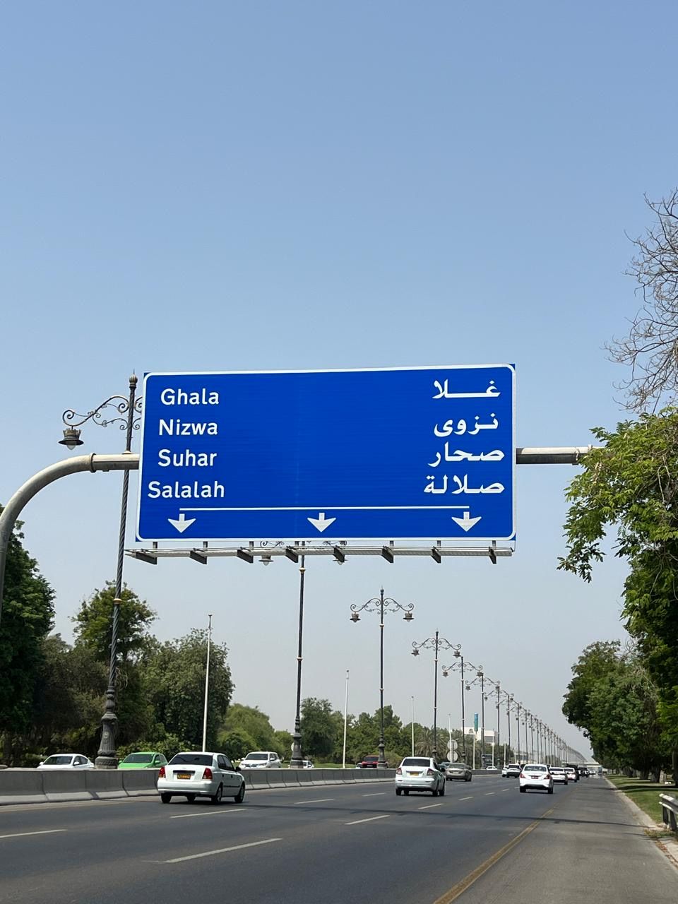
This project aims to provide a unified and precise national address for every home and establishment, making it easier to locate destinations and reducing the time and effort required for transportation. This represents a gradual transition from relying on traditional descriptions of locations or landmark references to a unified address linked to precise geographical coordinates.
The National Addressing System`s publishing and accessibility application will enable users to search for addresses and access them simply and precisely, allowing individuals and service providers to identify destinations directly. This system will be linked to digital maps, navigation applications and various government systems. Thus facilitating access to sites and increasing the efficiency of digital services.
The unified address will have an impact across a wide range of government and private-sector services that rely on geographical location. They consist of ambulance services, the Civil Defence and the Royal Oman Police, municipal services, postal and delivery services, electricity, water and telecommunications, and the health, education and social sectors. It will support civil and national registration services, commercial and investment services, land management and urban planning by providing a unified and reliable reference for addresses.

-
A Database Supporting Digital Transformation and Planning
The National Addressing System is one of the projects supporting digital transformation, as it provides a unified national spatial database that can be linked to various government systems. This integration contributes to exchanging data among entities, reducing duplication of information, improving the quality of electronic services and boosting the efficiency of government services’ delivery to citizens and residents.
From a planning perspective, the addressing database provides accurate and up-to-date spatial information on streets, buildings and addressing units. This information can be utilised to conduct studies, analyse data, prioritise projects, distribute public services and facilities, manage government assets, plan infrastructure projects and monitor maintenance works.
This data is particularly important for Muscat Governorate, which is experiencing continuous urban growth. It helps monitor urban progress, analyse population density, plan future expansions and identify the needs of regions in terms of services and facilities. Thereby supporting more efficient planning and progress decisions.
The system represents a key enabler for smart cities through offering a unified reference for locations and addresses that can be integrated with smart systems and applications. It supports location-based services such as asset management, traffic mobility, smart municipal services, emergency response, logistics services and spatial data analysis.
-
Logistical and Economic Impact
The unification of addresses is expected to directly influence the logistical services and delivery sector in Muscat Governorate and other governorates, since providing accurate, standardised and reliable data will facilitate delivery and transportation. This will reduce delivery times and operational costs and minimise errors resulting from difficulties in identifying locations.
The system supports the growth of E-commerce and improve the quality of delivery and postal services. Small and medium-sized enterprises will benefit from the ability to register their locations using unified and approved national addresses, simplifying for customers to reach them and strengthening their presence on digital maps and electronic commerce platforms.
In terms of investment, the system provides a unified and reliable spatial infrastructure that that helps investors identify the locations of projects and establishments and access them easily. It supports verification of commercial registration addresses and management of project and contractors’ data. As well as, reinforcing the accuracy of spatial information that government entities rely on to issue licences and provide services. This contributes to improving work environment and enhancing the efficiency of services associated with projects and investments in Muscat Governorate.

-
The Community as a Partner in the Project`s Success
Societal awareness and cooperation constitute an important contribution to achieving the various stages of the project. In this regard, the Ministry of Housing and Urban Planning, in cooperation with Muscat Governorate and the relevant authorities, is conducting consciousness campaigns to introduce citizens, residents, and the public and private sectors to the objectives of the National Addressing System, how to utilise it, and how it contributes to enhancing service quality and advancing digital transformation.
Residents and owners of establishments in the targeted neighbourhoods will be notified before installing signboards begins. Their role will be to cooperate with field teams and facilitate access to installation sites when required, according to the accredited technical procedures.
2.16.1.2
2.16.1.2
2.16.1.2
2.16.1.2
2.16.1.2
2.16.1.2